7 Property Issues an ALTA Survey Can Help Identify Before Closing
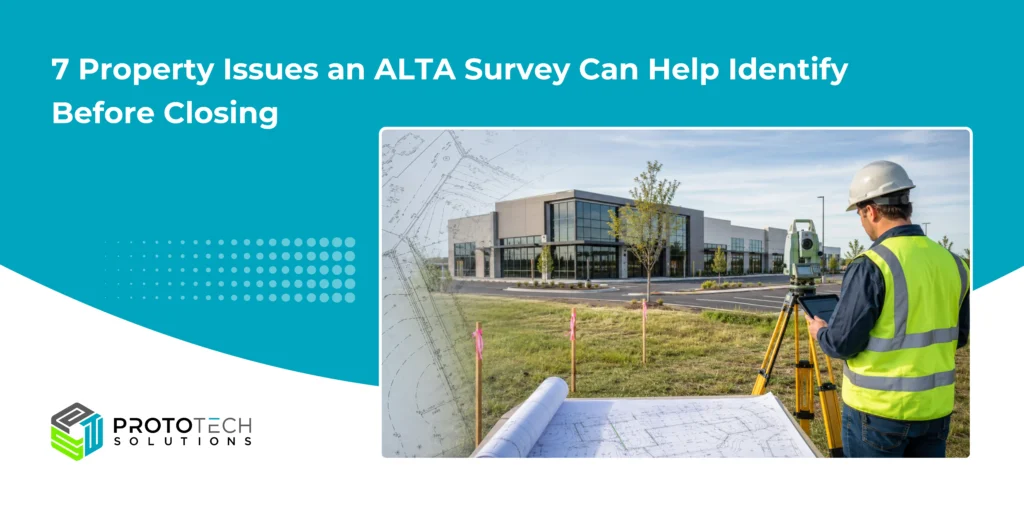
Buying, financing, or developing commercial property involves more than reviewing the purchase price and title commitment. A property can appear problem-free during a site visit while still carrying boundary conflicts, easements, access limitations, or improvement-related issues that may affect financing, title coverage, development plans, and property value.
An ALTA/NSPS Land Title Survey gives commercial buyers, investors, lenders, developers, and title professionals a detailed view of survey-related property conditions. Under the current 2026 ALTA/NSPS Minimum Standard Detail Requirements, effective February 23, 2026, surveyors combine records research, boundary analysis, field observations, and mapped improvements to support due diligence.
Here are seven issues an ALTA survey can help identify before closing.
1. Boundary Line Discrepancies
The legal description in a deed may not always align perfectly with physical occupation on the ground. Fences, walls, monuments, parking areas, or neighboring improvements can raise questions about where the property boundary actually lies.
An ALTA survey documents the surveyed boundary and relevant field evidence. Identifying a discrepancy early can help prevent problems with usable site area, setbacks, planned construction, subdivision, or future resale.
2. Encroachments Between Adjacent Properties
A neighboring fence, driveway, building projection, stair, canopy, or other improvement may extend onto the property being purchased. Likewise, an improvement on the subject property may cross a boundary, easement, right-of-way, or setback line.
The survey shows relevant physical conditions without determining legal ownership. Current ALTA/NSPS requirements specifically address observed potential encroachments and improvements near property boundaries while avoiding legal opinions about ownership.
That gives attorneys, title officers, lenders, and transaction parties the information needed to evaluate whether an encroachment requires correction, an agreement, or further review.
3. Easements and Servitudes That Affect Property Use
Utility, drainage, access, and other easements can significantly influence how commercial land may be used.
An ALTA survey can show plottable easements disclosed in the documents provided or obtained for the survey and relate them to physical improvements. For a developer, this can reveal whether a proposed building, parking area, access road, or utility plan conflicts with an existing easement.
Finding the issue before closing creates time to assess design changes, negotiate terms, or obtain legal guidance.
4. Access and Right-of-Way Concerns
Road frontage does not automatically mean a property has adequate legal or practical access.
ALTA/NSPS fieldwork addresses observed physical access to abutting streets and ways, including driveways and curb cuts. It may also identify private roads, alleys, pedestrian routes, or access used by others across the property.
For commercial lenders and developers, access can directly affect property operations, deliveries, emergency access, development approvals, and property value.
5. Legal Description and Boundary Conflicts
Commercial properties may have legal descriptions carried through deeds, parcel combinations, subdivisions, and prior surveys. Sometimes the written description and available boundary evidence do not fit together cleanly.
An ALTA survey helps compare record information with field evidence and can identify discrepancies requiring review. For multi-parcel acquisitions, this is especially important because gaps, overlaps, or inconsistent descriptions may complicate title insurance and ownership documentation.
6. Improvements That Conflict With Property Constraints
Buildings, fences, walls, loading areas, pavement, and other improvements can become transaction concerns when their locations conflict with boundaries, easements, rights-of-way, or disclosed setback requirements.
The base ALTA/NSPS survey includes specified improvement information, while additional details may be requested through applicable Table A items. Depending on the transaction, these optional items can support deeper review of zoning-related information, parking, utilities, flood information, and other due-diligence concerns.
7. Utility, Flood, and Other Site Conditions
Some important commercial due diligence details are not automatically included in every ALTA survey. They may require negotiated Table A items.
For example, utility-related information can combine observed evidence with records, markings, or private utility-location work, depending on the agreed scope. Flood-zone, parking, and certain zoning-related information can also be requested where appropriate.
The practical lesson is simple: buyers, lenders, title companies, and surveyors should define the required Table A scope early rather than discovering missing information close to the closing date.
How ALTA/NSPS Survey Drafting Helps
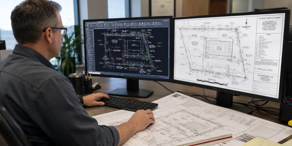
Accurate fieldwork is only one part of a useful ALTA survey. Field measurements, boundary information, title documents, easements, improvements, notes, and Table A information must also be incorporated into a precise, readable survey drawing.
Professional ALTA/NSPS survey drafting services help surveying firms transform field data, sketches, markups, and record information into organized CAD deliverables. Drafting can clearly present boundaries, bearings, and distances, easements, rights-of-way, buildings, access features, encroachments, notes, legends, and other required information according to the licensed surveyor’s direction.
For firms managing multiple commercial projects, outsourced land survey drafting services can also support faster turnaround and more consistent CAD documentation. The licensed surveyor remains responsible for professional analysis, final review, certification, and compliance; drafting support helps make the final deliverable clear and easier for lenders, title officers, developers, attorneys, and buyers to review.
Conclusion
An ALTA survey is more than just another document required before a commercial real estate closing. It is a practical due-diligence tool that can reveal conditions affecting title, access, development potential, financing, and long-term property use.
Identifying those issues before closing gives the transaction team more time to investigate, negotiate, redesign, insure, or resolve them while options are still available.
For surveying firms that need dependable CAD support, professional ALTA/NSPS survey drafting can help streamline documentation and keep commercial survey projects moving efficiently.
Frequently Askes Questions
Q. Why is an ALTA survey important before closing?
It can help identify boundary conflicts, encroachments, easements, access concerns, and other property conditions before the transaction is finalized.
Q. Who usually needs an ALTA survey?
Commercial property buyers, investors, developers, lenders, attorneys, and title companies commonly request ALTA surveys.
Q. Is an ALTA survey required for every commercial property?
No. It is not required for every transaction, but lenders or title companies may request one depending on the property and financing requirements.
Q. Does an ALTA survey show easements?
Yes. Plottable easements identified in the provided title documents can generally be shown on the survey when they affect the property.
Q. Can an ALTA survey identify encroachments?
Yes. It can show physical improvements that appear to cross or closely approach property boundaries, easements, or other relevant lines.
Q. What is Table A in an ALTA survey?
Table A contains optional survey items that the client and surveyor may agree to include, such as certain utility, parking, zoning, flood, or additional property information.
Q. Is an ALTA survey the same as a boundary survey?
No. Both address property boundaries, but an ALTA/NSPS Land Title Survey typically includes additional information needed for commercial real estate, lending, and title due diligence.