The Ultimate Guide to Highway Design: From Planning to Drafting
Highways are the arteries of modern civilization. They connect people, businesses, supply chains, and entire economies. Yet, behind every smooth ride and seamless interchange lies years of careful planning, drafting, and engineering expertise.
Whether you’re a civil engineering student, a practicing highway engineer, or a stakeholder trying to understand the complexities of road projects, this guide will walk you through every stage of highway design, from planning and geometric design to drainage, interchanges, CAD drafting, and 3D modeling.
Why Highway Design Matters
Think about your morning commute. When you encounter a well-planned stretch of highway with clear lanes, safe curves, and properly designed shoulders, chances are you take it for granted. But if drainage is poor, lanes are narrow, or interchanges are confusing, traffic snarls and accidents quickly follow.
That’s why highway design is both an art and a science, balancing safety, economy, environment, and user convenience.
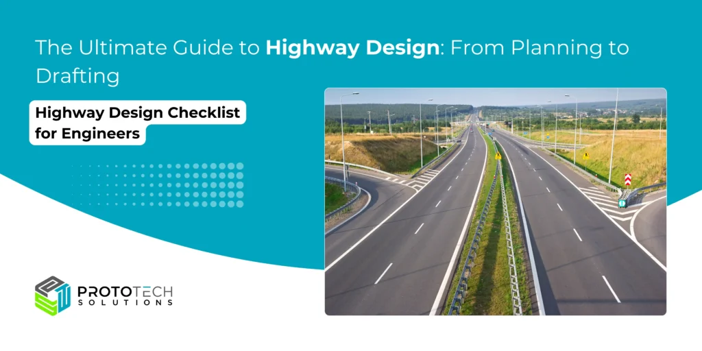
Highway Design Checklist for Engineers
Before finalizing any project, run through this quick checklist:
- Route feasibility & planning approval.
- Geometric alignment & safety standards.
- Drafting accuracy (cross-sections, profiles, pavement layers).
- Drainage & utility relocation plans.
- Traffic signage & markings included.
- Cost estimation & QTO reviewed.
- Use CAD drafting and 3D modeling for error-free design.
- Ensure all property and stakeholder processes are legally compliant.
- Use only approved materials and construction practices.
- Archive all compliance-related documentation for future reference.
- Conduct and document environmental and safety audits
This checklist ensures no critical detail slips through.
Step 1: Highway Planning – Where It All Begins

Highway design starts long before CAD drawings or 3D models. The first step is highway planning, a process that integrates feasibility studies, environmental considerations, traffic demand forecasting, and alignment selection.
Key factors in highway planning:
- Traffic Studies: How many vehicles, of what type, will use the road?
- Topography: Mountains, plains, rivers, or urban settlements?
- Environmental & Social Impact: Does the alignment protect forests, communities, or heritage areas?
- Economic Justification: Does the road improve trade and mobility cost-effectively?
- Future Expansion: Can the highway handle increased demand in 25 years?
Example:
If you’re planning a new bypass road around a growing city, the planners must study traffic volumes, land-use patterns, and growth projections. Choosing the wrong alignment could choke the road in a decade.
- Collect topographic and geotechnical data
- Conduct traffic surveys and demand forecasting
- Identify constraints (rivers, heritage sites, urban zones)
- Study land acquisition/economic feasibility
- Prepare environmental impact assessments
Step 2: Geometric Design of Highways
Once the planning phase gives us a corridor, the geometric design defines the actual shapes, alignment, slopes, lane widths, curves, gradients, and sight distances.
The main objective of geometric design is safety, comfort, and efficiency.
Key components of geometric design:
- Cross-Section Elements
- Lane width: Usually 3.5 m for highways.
- Shoulders: Provide recovery space and breakdown refuge.
- Medians: Separate traffic directions.
- Horizontal Alignment
- Curves: Must be gentle enough for safe maneuvering.
- Super-elevation: Banking curves to counter centrifugal force.
- Vertical Alignment
- Gradients: Manage slopes for fuel efficiency and safety.
- Crest and Sag Curves: Ensure sight distance during overtaking or nighttime driving.
- Sight Distances
- Stopping Sight Distance (SSD): Distance required to stop safely.
- Overtaking Sight Distance (OSD): For safe passing.
Example:
Ever noticed the curved ramp when exiting a freeway at an interchange? That curvature is a carefully calculated horizontal curve radius with super-elevation, ensuring vehicles don’t skid off the ramp at design speeds.
Step 3: Drainage – The Lifeline of Highways
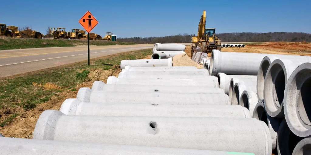
Water is the number one enemy of pavement. Without proper drainage, even the best-designed road will deteriorate within years.
Types of Highway Drainage:
- Surface Drainage
- Side drains, cross-drains, culverts.
- Remove rainwater quickly from the pavement surface.
- Subsurface Drainage
- Trenches or filter layers to prevent waterlogging beneath the pavement.
- Protects layers from weakening.
Drainage Design Checklist:
- Provide sufficient slope for water runoff
- Place roadside ditches where natural drains exist
- Design culverts at stream crossings
- Adequately protect embankments against erosion
Example:
In regions with heavy rainfall like Kerala (India) or Florida (USA), improperly designed roadside drains can turn highways into rivers. That’s why CAD drafting for highways includes detailed drainage layouts.
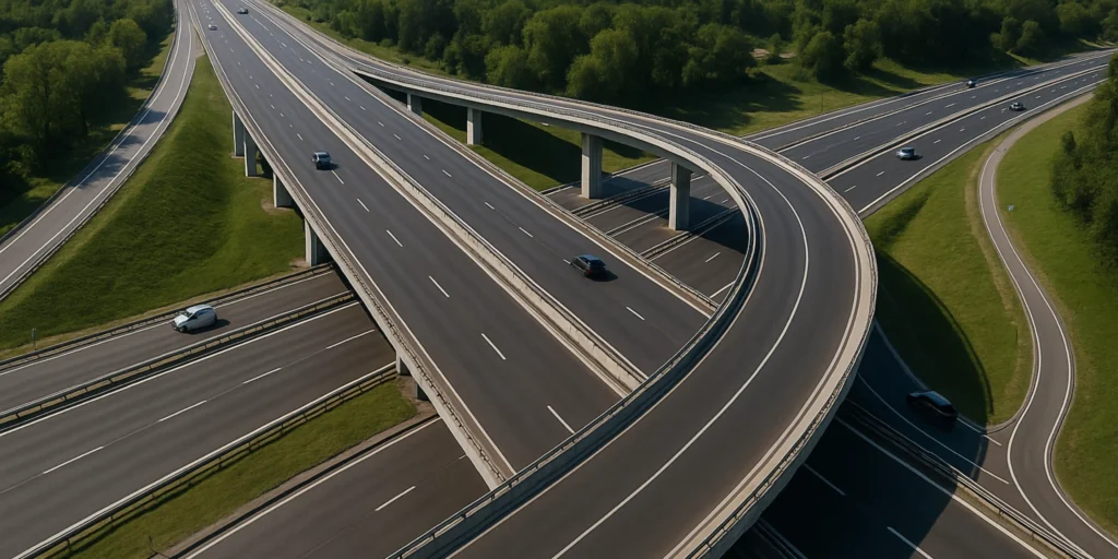
Step 4: Interchanges – Designing for Smooth Traffic Flow
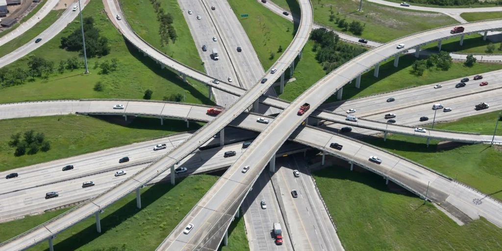
At major junctions, interchanges replace stop-and-go intersections with free-flowing ramps and flyovers.
Types of Interchanges:
- Trumpet Interchange: Used where highways terminate.
- Diamond Interchange: Common in urban areas.
- Cloverleaf Interchange: For handling high traffic without signals.
- Directional Interchange: For major freeways with heavy left or right turns.
Example:
The famous “Spaghetti Bowl” interchanges in cities like Dallas or Delhi NCR show how interchanges manage massive traffic volumes safely.
Interchange Planning Must Consider:
- Land availability
- Driver comprehension (avoid confusing loops)
- Safety (avoid merging conflicts)
- Construction cost and phasing
Step 5: CAD Drafting for Highways – From Concept to Technical Drawing

Once geometric design, drainage, and interchanges are decided on paper, engineers move to CAD drafting for highways.
Modern projects are rarely drawn manually. Instead, powerful CAD software like AutoCAD Civil 3D, MX Road, Bentley OpenRoads, or InfraWorks helps engineers create precise drawings.
Drafting involves:
- Plan and profile drawings
- Cross-sections and typical sections
- Pavement layer details
- Drainage structures and culverts
- Interchange layouts
CAD drafting isn’t just about neat drawings; it ensures data accuracy, error detection, and seamless collaboration between design teams and construction units.
Step 6: 3D Modeling in Highway Design – The New Era
2D drawings are essential, but 3D modeling is transforming highway design.
Using tools like Civil 3D, InfraWorks, and BIM (Building Information Modeling), designers can:
- Visualize the highway alignment in realistic terrain
- Detect clashes (e.g., a flyover colliding with a utility line)
- Simulate traffic movement
- Communicate better with stakeholders
Example:
If you’re designing a 20 km mountain highway, traditional 2D drawings may not clearly show how curves interact with valleys. But a 3D model immediately highlights earthworks, retaining walls, and slope stability issues.
Step 7: Cost Estimation & Quantity Take-Off – Keeping Projects on Budget

Highways cost billions. That’s why cost estimation is an integral part of design.
- Quantity take-off (QTO): Engineers calculate the exact amount of materials (concrete, asphalt, steel, etc.) needed.
- Budget planning: Prevents cost overruns and ensures funding availability.
- CAD integration: Automated tools now streamline material calculations.
With accurate cost estimation, stakeholders can make informed financial decisions.
Step 8: Compliance Rules and Regulatory Standards

Highway designers must follow a wide range of compliance requirements, which vary by country but share core principles. These ensure quality, safety, and environmental stewardship throughout the project lifecycle.
Essential Compliance Areas:
- Design Standards: All geometric and structural elements (lane width, curvature, gradients, super-elevation, sight distance, clearance, etc.) must meet the latest government-mandated standards, such as AASHTO (USA), DMRB (UK), IRC (India), or other local codes. Any deviation requires detailed justification and formal approval.
- Documentation and Design Exceptions: If a design cannot meet standards for specific reasons (such as difficult terrain or urban constraints), these exceptions must be carefully documented, risks assessed, and approvals obtained from relevant authorities.
- Environmental Compliance: Compliance with environmental impact assessment laws covers noise, air and water quality, wildlife passages, and minimization of ecological disruption.
- Right-of-Way and Land Acquisition: The project must adhere to legal processes in acquiring land, negotiating with property owners, and managing compensation or resettlement where required.
- Safety Audit and Risk Assessment: Periodic road safety audits and thorough risk assessments, especially for design exceptions, are mandatory for minimizing hazards.
- Material and Construction Specs: Use materials and construction methods that comply with codes such as IRC, MORTH (India), or other national/international standards governing load, durability, and service life.
- Public Engagement and Approvals: In many regions, public hearings or inquiries are required for major roads, enabling stakeholders to review plans and voice concerns before approval.
The Human Side of Highway Design
Highway design is not just science; it’s about people:
- Commuters who need safe, smooth travel.
- Truck drivers need rest stops and wide turning radii.
- Communities whose livelihoods may be affected by alignment.
- An environment that must be preserved through green bridges, wildlife corridors, and low-noise pavements.
Future of Highway Design – Sustainable & Smart Roads
The next generation of highways is already here. Future trends include:
- Smart highways with IoT sensors for traffic monitoring.
- AI-driven traffic control to reduce congestion.
- Eco-friendly pavements made from recycled materials.
- Sustainable drainage systems that protect ecosystems.
Highways of tomorrow will be greener, safer, and more intelligent.
Conclusion: Building Smarter Highways with Design Expertise
Highway design is a journey, from planning and geometric alignment to drafting, drainage, and 3D modeling. Done right, it produces highways that last long, serve millions, and foster economic growth.
At the heart of successful highways lies precision in CAD drafting, innovation in design methods, and a people-first approach.
If you’re an engineering student, this guide gives you a foundation. If you’re a stakeholder, it helps decode the science behind road projects. And if you’re a design professional, it highlights how advanced drafting and modeling tools are transforming the industry.
Ready to Design Smarter Highways?
We specialize in highway design services, CAD drafting for highways, and 3D modeling solutions tailored to your project needs. Whether you’re planning a new expressway, a city bypass, or an interchange upgrade, our team can help turn ideas into efficient, sustainable, and safe highways.
Contact us today to discuss your project, and let’s design the roads of tomorrow, together!
Frequently Asked Questions (FAQs) About Highway Design
Q1: What is the first step in highway design?
Highway planning, involves feasibility studies, traffic surveys, and alignment selection.
Q2: What is the purpose of highway design?
To ensure roads are safe, efficient, and durable for modern transportation needs.
Q3: Why is geometric design important in highway projects?
It determines how safe, efficient, and comfortable the road will be by optimizing curves, slopes, and dimensions.
Q4: What software is used in highway CAD drafting?
Popular tools include AutoCAD Civil 3D, Bentley OpenRoads, and InfraWorks.
Q5: How do engineers calculate highway alignment?
Through surveys, GIS data, and geometric design standards.
Q6: What role does drainage play in highways?
Good drainage prevents pavement failures, erosion, and flooding, extending the life of the road.
Q7: Is 3D modeling necessary in highway design?
Yes, especially for large or complex projects, as it allows better visualization, clash detection, and stakeholder communication.