Why Site Drainage Design is Critical for Land Development (Avoid Costly Mistakes)
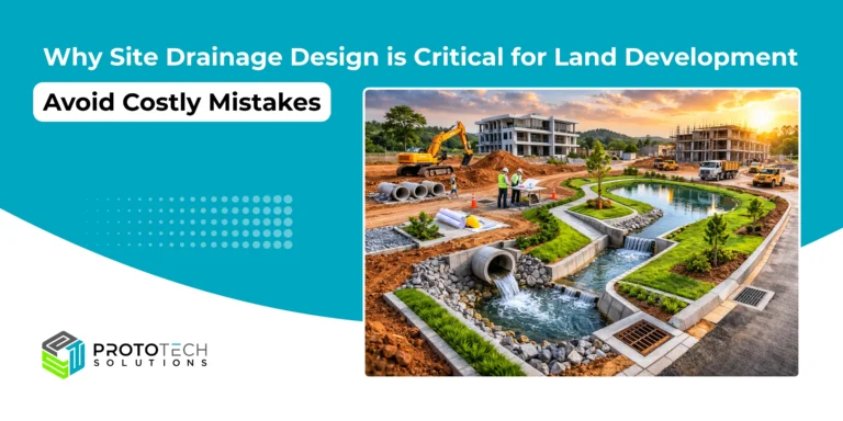
Introduction A newly completed development looks perfect on the surface. Roads are paved, buildings are ready, and everything seems on track until the first heavy rain hits. Within hours, water starts pooling across the site. Parking areas flood, soil begins to erode, and cracks appear near foundations. What should have been a successful project suddenly…