2026 ALTA/NSPS Land Survey Standards Explained: What You Need to Know
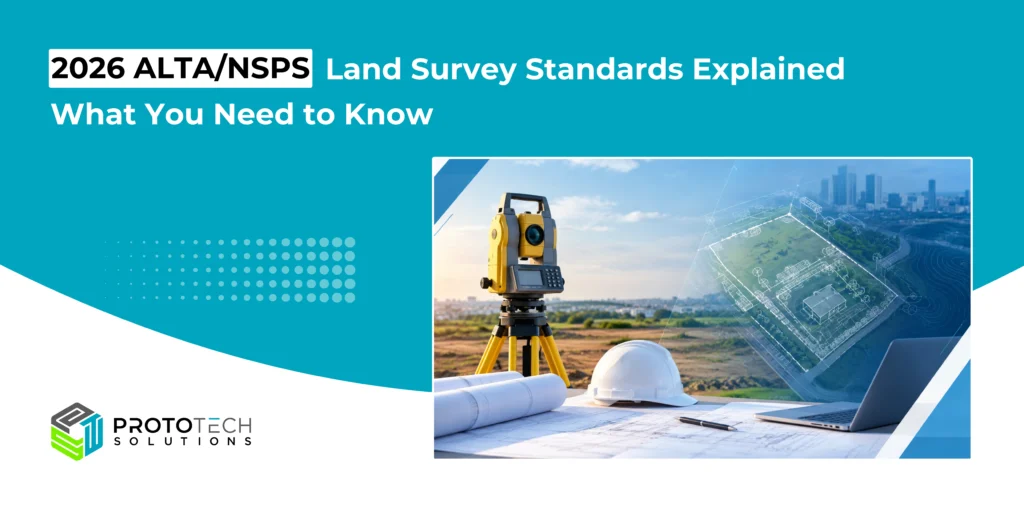
For architects, engineers, developers, lenders, title professionals, and other AEC stakeholders, an ALTA/NSPS Land Title Survey is an important part of understanding property boundaries, title-related conditions, and existing physical features.
An ALTA/NSPS Land Title Survey is a specialized boundary survey prepared to meet the minimum standards established jointly by the American Land Title Association (ALTA) and the National Society of Professional Surveyors (NSPS).
The 2026 ALTA/NSPS Standards introduce several important clarifications to how these surveys are prepared, documented, and communicated. The 2026 standards became effective on February 23, 2026, replacing the 2021 version.
For AEC professionals working on commercial developments, acquisitions, redevelopment projects, and property transactions, understanding these changes can help improve coordination between surveyors, title companies, lenders, owners, and design teams.
This guide explains what has changed, what remains fundamental, and what project teams should know when requesting or using a 2026 ALTA/NSPS Land Title Survey.
When Did the 2026 ALTA/NSPS Standards Take Effect?
The 2026 ALTA/NSPS Standards became effective on February 23, 2026.
The 2026 version supersedes the 2021 standards. NSPS explains that contracts signed on or after February 23, 2026, generally call for the 2026 standards, while certain transition situations involving contracts executed before that date may permit use of the 2021 standards when appropriately addressed with the client, title company, and lender.
This makes the contract date and survey scope particularly important for projects that span the transition between the 2021 and 2026 standards.
AEC teams should avoid assuming that an older survey automatically satisfies a current transaction’s requirements. The survey requirements should be confirmed with the surveyor, client, title company, and lender.
What Changed in the 2026 ALTA/NSPS Standards?

The 2026 standards do not completely redefine the ALTA/NSPS survey process. Instead, they introduce several important clarifications and scope changes.
1. Relative Positional Precision Has Been Clarified
One of the technical changes in the 2026 standards is the clarification of Relative Positional Precision (RPP), which addresses the positional relationship between survey points.
Under the 2026 ALTA/NSPS Land Title Survey Standards, the maximum allowable Relative Positional Precision is 2 cm (0.07 feet) plus 50 parts per million, based on the direct distance between the two corners being tested.
This requirement provides a defined measure for evaluating the relative positional quality of surveyed boundary corners. It also helps establish a consistent technical benchmark for surveyors when evaluating the relationship between points.
For AEC teams, this reinforces the importance of understanding the surveyor’s stated precision, control methodology, and the intended use of the survey data before using it for detailed design, coordination, or construction-related workflows.
An ALTA/NSPS survey should not automatically be treated as a substitute for a specialized construction, engineering, or topographic survey unless the required scope has been specifically included.
2. The Standards Are More Technology-Neutral
The 2026 standards replace certain references to work being performed “on the ground” with language based on practices generally recognized as acceptable.
This is significant as surveying technology continues to evolve.
Modern survey workflows can involve technologies such as:
- GNSS/GPS
- Robotic total stations
- Terrestrial laser scanning
- Mobile LiDAR
- UAV/drone-based data collection
- Photogrammetry
- Digital terrain models
- Point clouds
- CAD and GIS workflows
- Other emerging measurement technologies
The 2026 standards intentionally provide greater flexibility rather than prescribing a particular technology. NSPS specifically identifies technologies such as drones and LiDAR as examples of methods that can be accommodated under the updated framework.
However, technology does not eliminate professional responsibility. The surveyor remains responsible for applying appropriate professional judgment and complying with applicable standards and laws.
3. Title Evidence Requirements Have Been Clarified
An ALTA/NSPS survey depends heavily on title information because many survey findings must be evaluated against recorded documents and other available evidence.
The 2026 standards provide expanded guidance concerning the sourcing of title evidence when a recent title commitment is unavailable.
This is particularly relevant to transactions where:
- A current title commitment is delayed
- Title information is incomplete
- The property has complicated ownership history
- Older surveys or plats are being relied upon
- Easements or rights-of-way require additional research
- The transaction involves unusual property configurations
For AEC professionals, this highlights an important point: the physical survey and the title record are interconnected.
A surveyor cannot determine every title condition simply by measuring what exists physically at the site.
4. Possession and Occupation Evidence Is More Explicitly Addressed
One of the notable 2026 changes is the requirement to note evidence of possession or occupation along the entire perimeter of the surveyed property.
This is important because physical occupation does not always correspond precisely with record boundaries.
Examples may include:
- Fences
- Walls
- Landscaping
- Driveways
- Parking areas
- Buildings
- Other apparent indicators of possession or occupation
These conditions can potentially identify situations that require additional investigation or coordination with title and legal professionals.
For development teams, reviewing these conditions early can help avoid surprises during property acquisition, design development, or due diligence.
5. Verbal or “Parol” Statements Must Be Noted When Made
The 2026 standards also clarify the treatment of verbal statements made by owners, occupants, or other individuals during the survey process.
Where relevant statements are made to the surveyor, the standards now provide clearer direction that such statements should be noted.
This can be important when an individual provides information about:
- Boundary locations
- Easements
- Access
- Occupation
- Improvements
- Historical property conditions
- Other matters potentially relevant to the survey
Documenting such information helps distinguish observed physical evidence from statements provided by people associated with the property.
Understanding Table A in the 2026 Standards
Table A is one of the most important parts of an ALTA/NSPS survey request for AEC professionals.
The core ALTA/NSPS standards establish minimum requirements, while Table A provides additional survey responsibilities and specifications that can be selected and negotiated between the surveyor and client.
Depending on the project, additional requirements can address items such as:
- Monuments at major boundary corners
- Property addresses
- Flood zone classification
- Gross land area
- Vertical relief and contours
- Zoning information
- Building dimensions
- Building areas
- Building heights
- Significant site features
- Parking spaces
- Party or division walls
- Underground utilities based on specified sources
- Governmental agency requirements
- Adjoining property ownership information
- Other negotiated requirements
The Table A items should be reviewed during project planning rather than treated as an afterthought.
For example, a developer may require building dimensions, parking information, zoning-related information, utility evidence, or topographic information depending on the project’s due diligence and design requirements.
Table A selections should be clearly identified in the survey agreement so that the surveyor and project stakeholders have the same understanding of the required scope.
What AEC Professionals Should Check Before Requesting an ALTA Survey
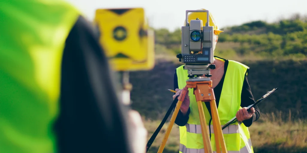
Before commissioning an ALTA/NSPS survey, project teams should establish the intended use and required deliverables.
1. Confirm the applicable standard
For work contracted under the current requirements, confirm that the survey is being prepared according to the 2026 ALTA/NSPS Standards.
2. Provide the relevant title information
Provide the surveyor with the current title commitment, title policy information, recorded documents, or other available documentation requested for the project.
3. Review Table A
Do not simply request “an ALTA survey” without discussing additional requirements.
Review the applicable Table A items with the surveyor, client, title company, and lender as appropriate.
4. Identify the intended project use
A survey for acquisition due diligence may have different information needs from a survey supporting redevelopment, financing, or a major commercial development.
5. Confirm state and local requirements
ALTA/NSPS standards do not eliminate applicable state laws, regulations, or professional requirements.
NSPS notes that surveyors must comply with applicable state requirements and the normal professional standard of care.
6. Establish the required digital deliverables
If the survey will be incorporated into an AEC design workflow, confirm whether the project requires:
- DWG/DXF
- Point clouds
- LandXML
- GIS data
- Coordinate information
- Surface models
- Other digital formats
This can reduce rework when the survey moves from field collection into engineering, architecture, BIM, or construction workflows.
Important: This article is provided for general informational purposes only. The 2026 ALTA/NSPS Standards should be reviewed for project-specific requirements, along with applicable state laws, regulations, title requirements, and professional standards. Information has been compiled from publicly available sources. For the latest and official information, please visit the NSPS website or ALTA website.
Why Accurate CAD and Survey Data Preparation Matters
A technically correct field survey still needs to be organized and delivered properly for downstream AEC workflows.
Survey data may be used by civil engineers, architects, structural engineers, landscape designers, contractors, developers, and GIS professionals.
During CAD or BIM preparation, common challenges can include:
- Inconsistent layer structures
- Coordinate-system issues
- Missing survey information
- Incorrect units
- Duplicate geometry
- Incomplete boundary information
- Poor annotation organization
- Unstructured blocks and symbols
- Inconsistent naming conventions
- Difficult-to-use legacy survey files
A structured digital workflow helps project teams use survey information efficiently without changing the surveyor’s professional determination.
How 2026 ALTA/NSPS Standards Affect AEC Workflows
The 2026 standards are particularly relevant as AEC workflows become increasingly digital.
Survey information may move through several stages:
Field Data → Survey Processing → ALTA/NSPS Plat → CAD/GIS → BIM/Civil Design → Project Coordination
At each stage, maintaining the relationship between survey evidence, coordinate information, title-related conditions, and project requirements is important.
For organizations handling large volumes of survey and property data, standardized CAD production and quality-control processes can also help improve consistency across projects.
Supporting Your ALTA/NSPS Survey and AEC Data Workflows
The 2026 ALTA/NSPS Standards provide updated guidance for today’s land surveying environment while allowing survey professionals to adopt evolving technologies and workflows.
For AEC organizations, the key is not simply understanding the standard—it is ensuring that survey information can be efficiently integrated into the broader project workflow.
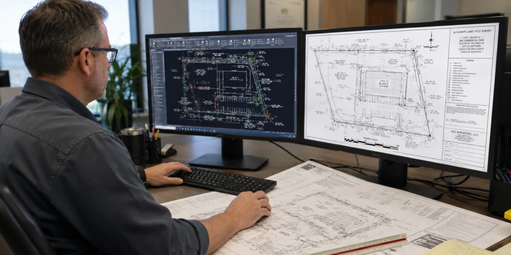
ProtoTech Solutions helps AEC organizations with CAD drafting, survey data processing, CAD conversion, drawing cleanup, GIS-related workflows, and digital engineering data preparation. Our team can help transform survey and property data into structured, project-ready CAD deliverables while maintaining the required coordinate information, layers, annotations, and drawing standards defined by the project.
Whether you need support with ALTA/NSPS survey drafting, CAD conversion, survey drawing cleanup, boundary and site plan drafting, or large-scale AEC data processing, ProtoTech Solutions can support your project workflow from raw survey information to usable digital deliverables.